Integrative Geoapplications
Delivering comprehensive geospatial solutions for seamless data integration and analysis.
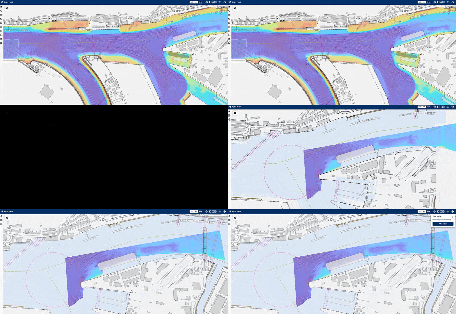
Explore the features of our cloud-based bathymetric applications
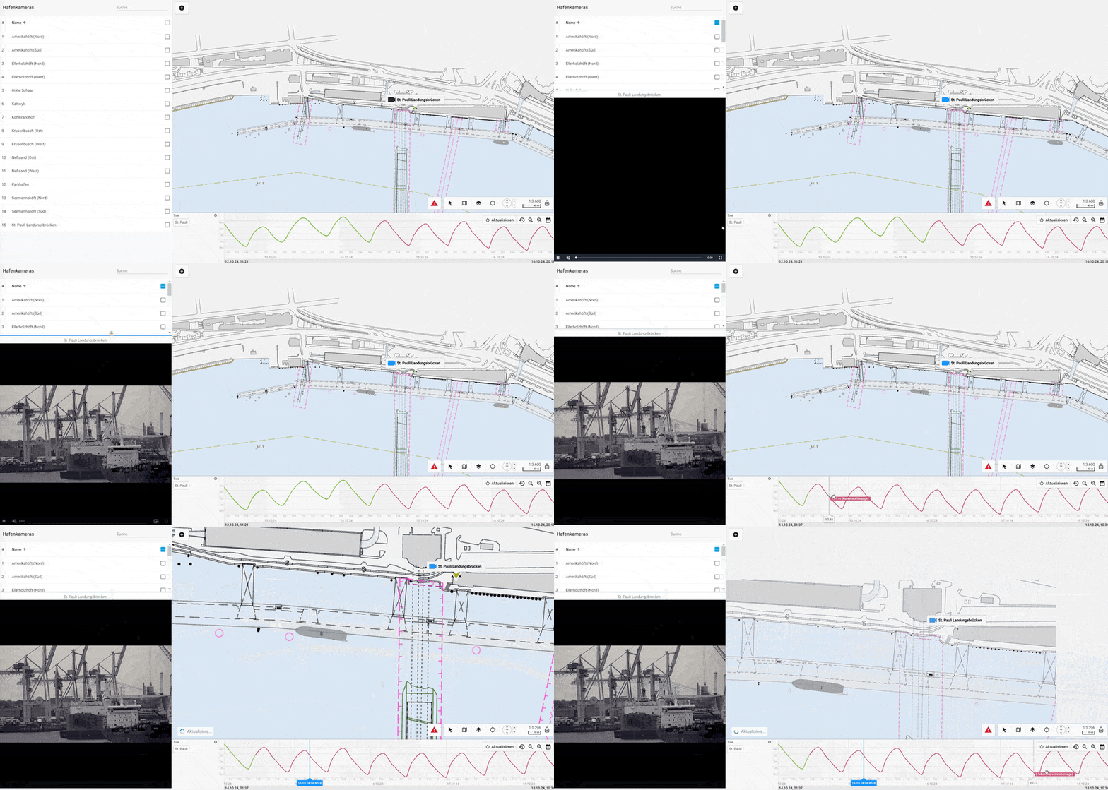
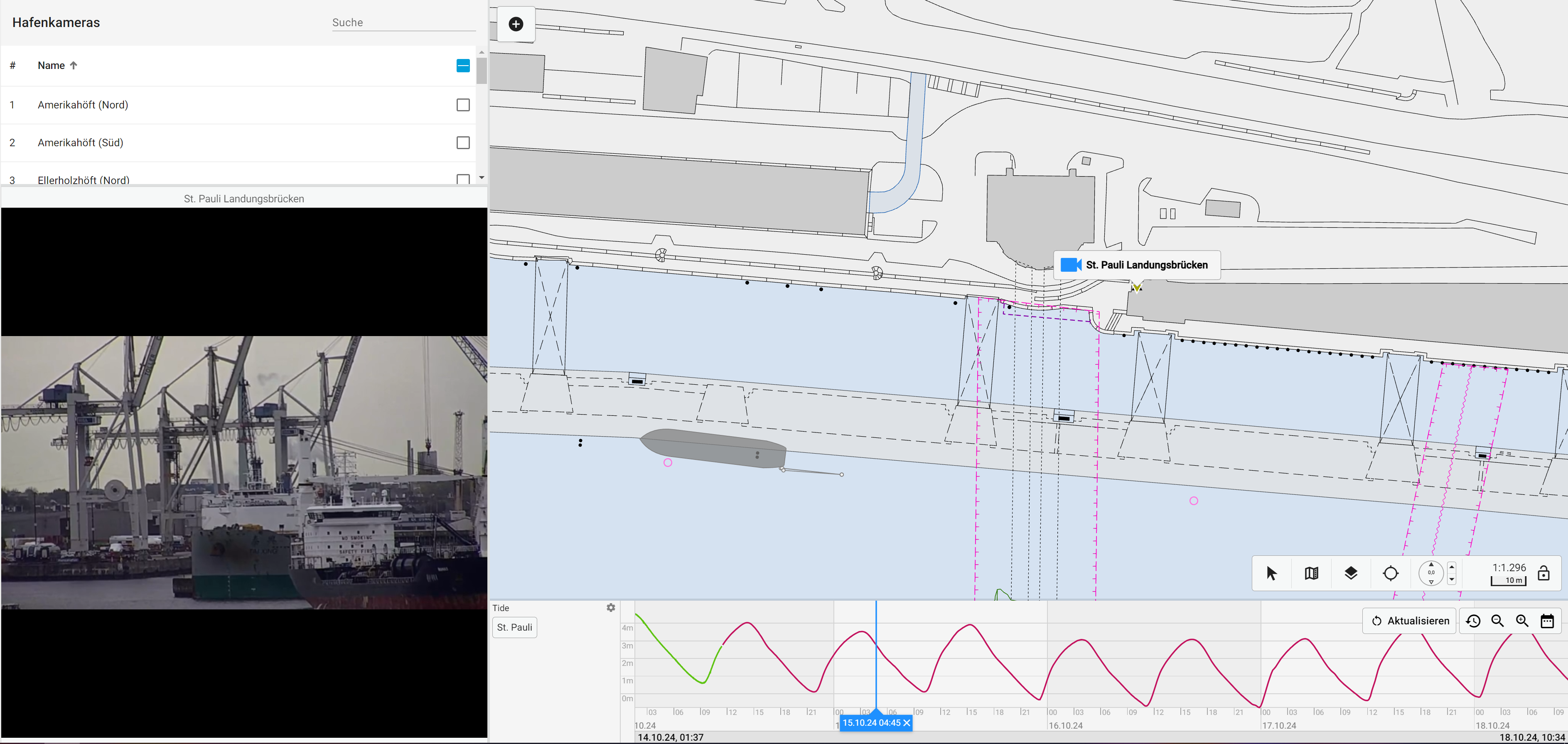
Delivering comprehensive geospatial solutions for seamless data integration and analysis.
Advanced tools for efficient processing and detailed analysis of bathymetric data.
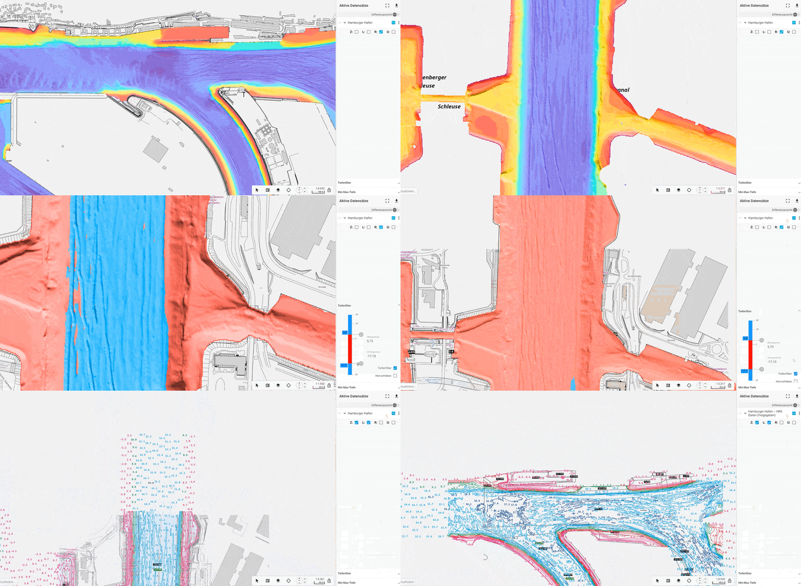
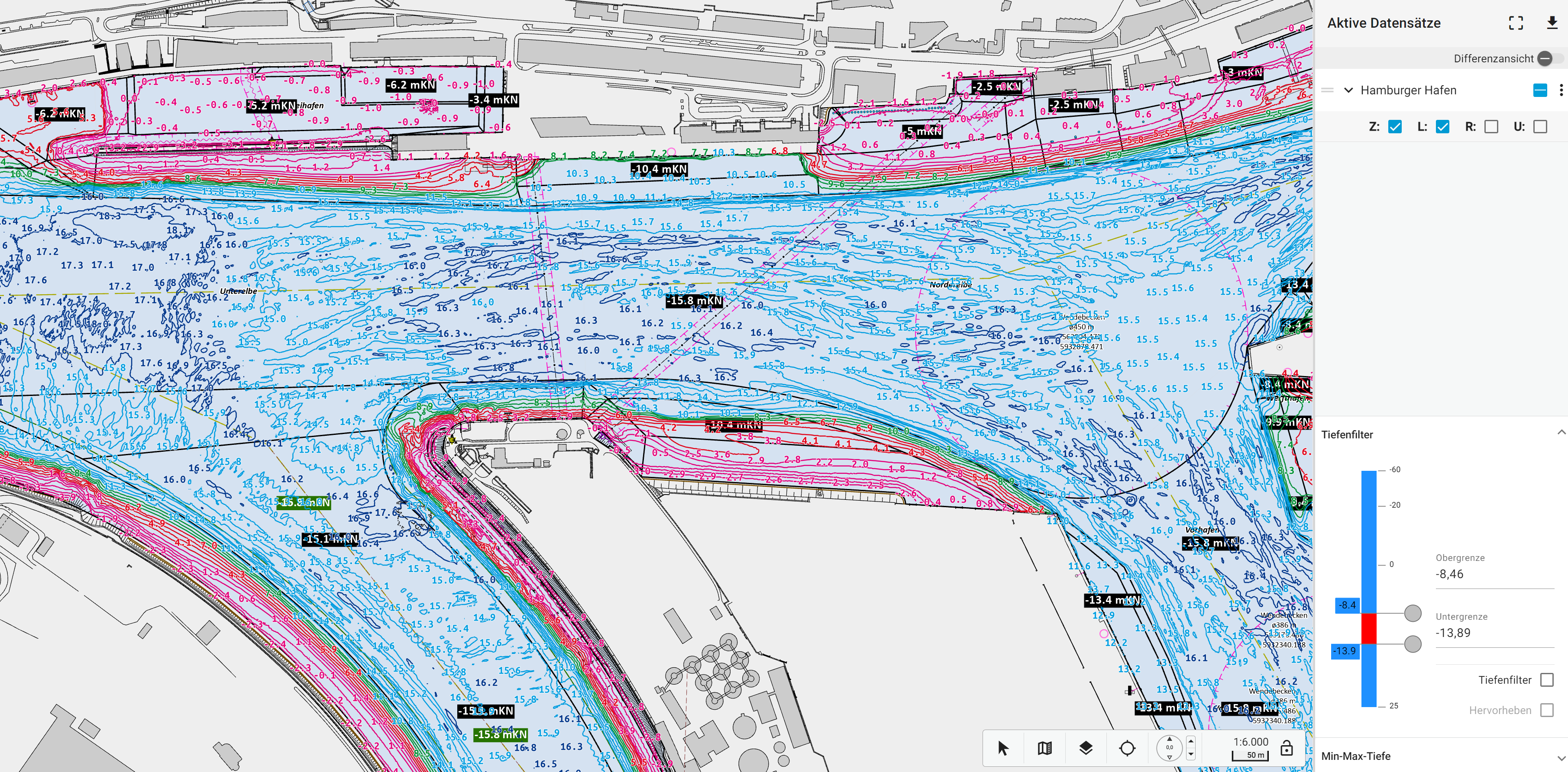
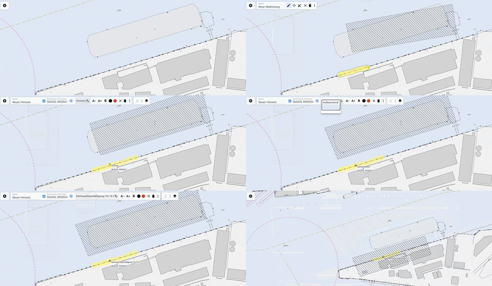
Facilitating teamwork with intuitive workspaces for real-time data sharing.
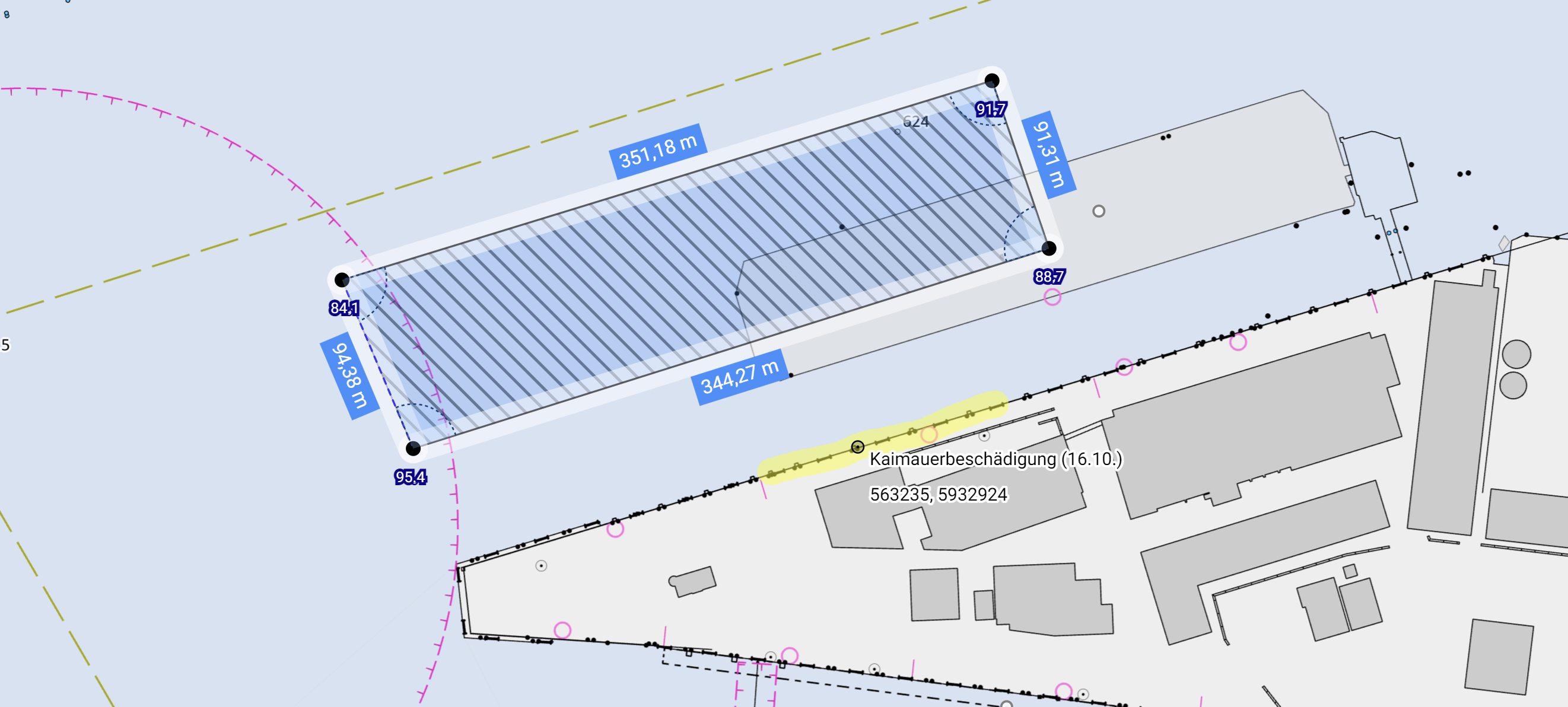
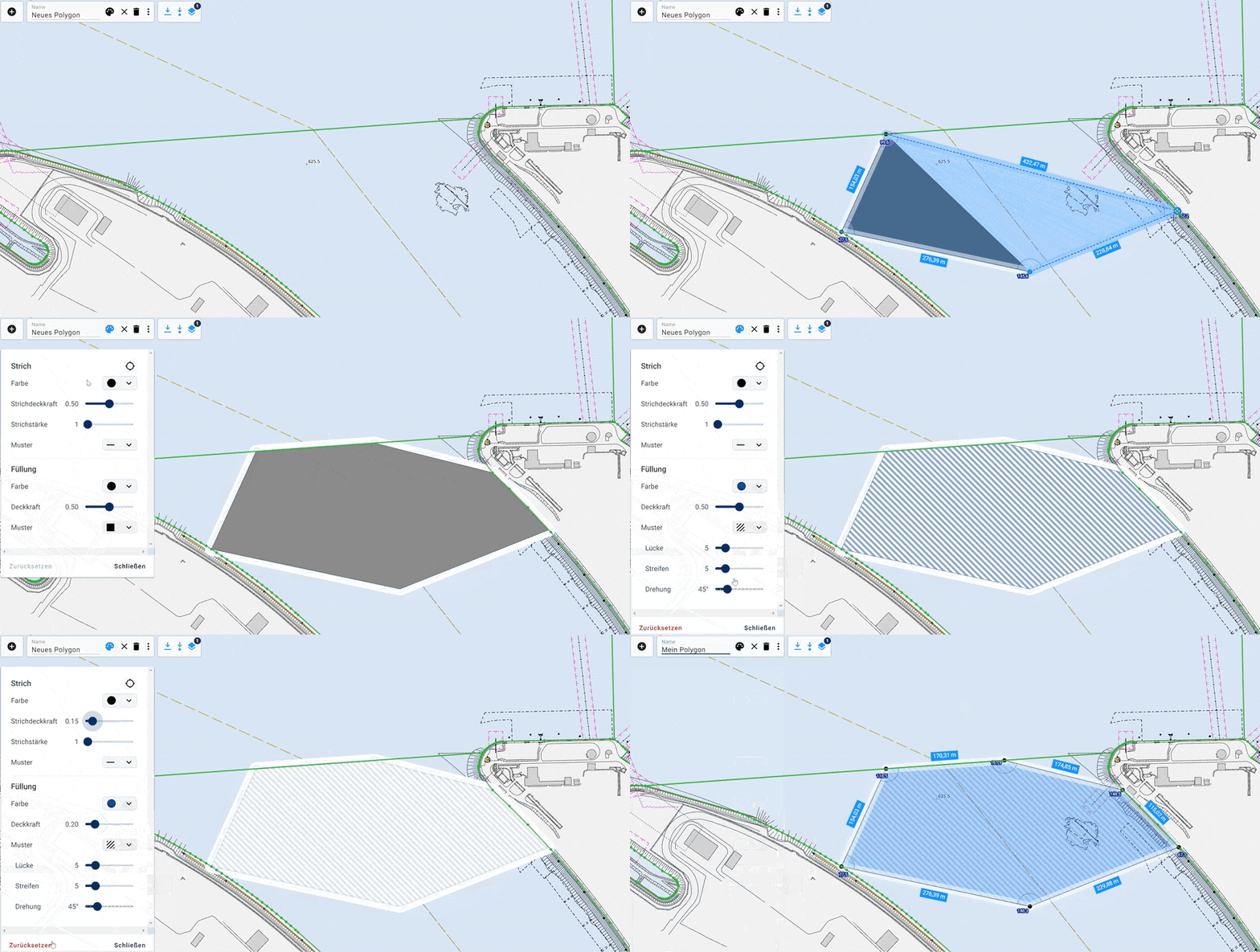
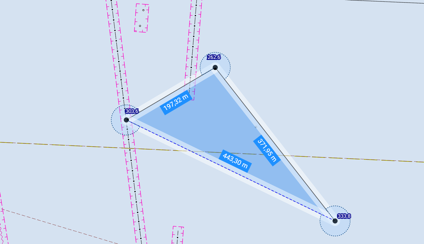
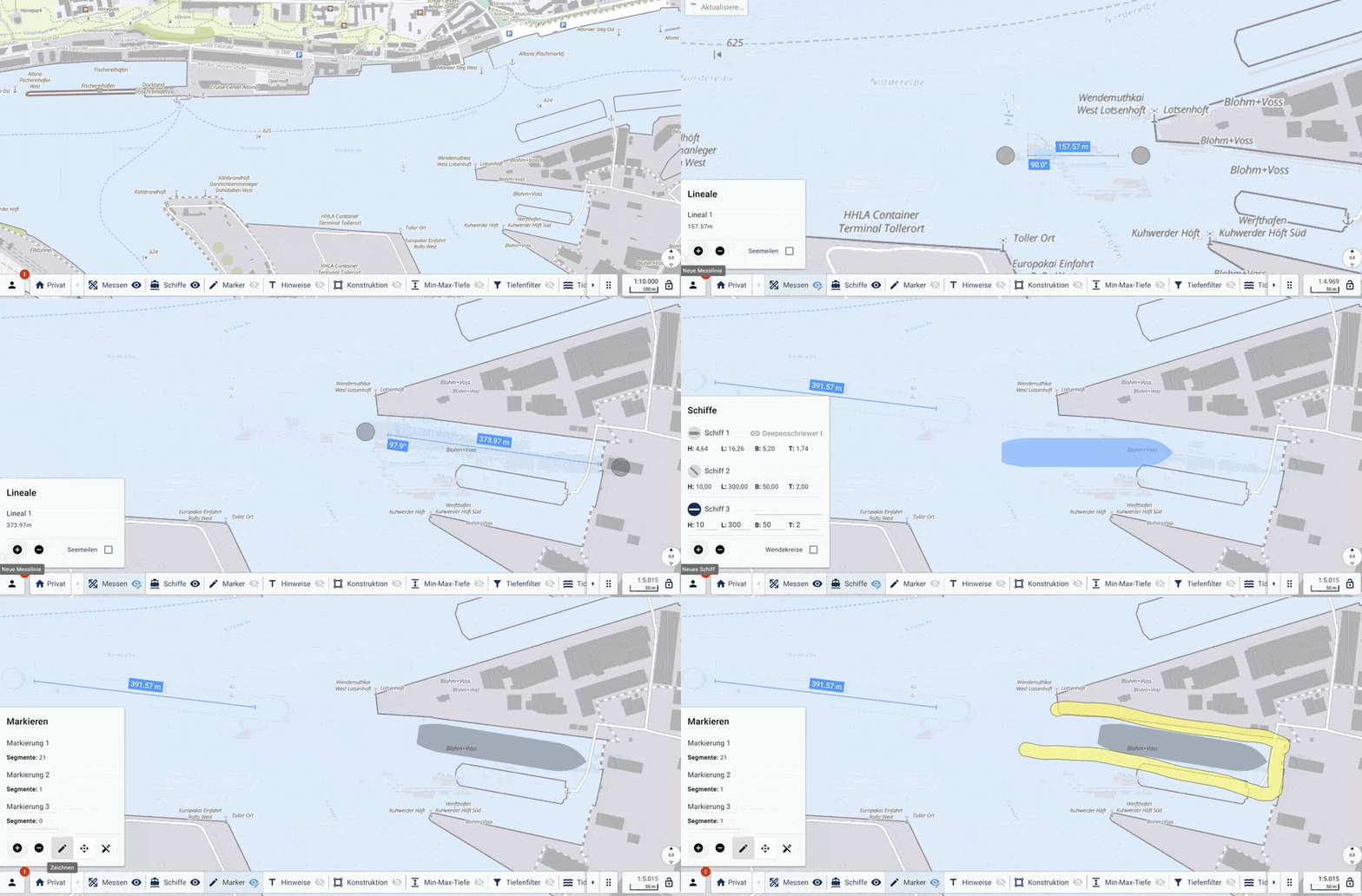
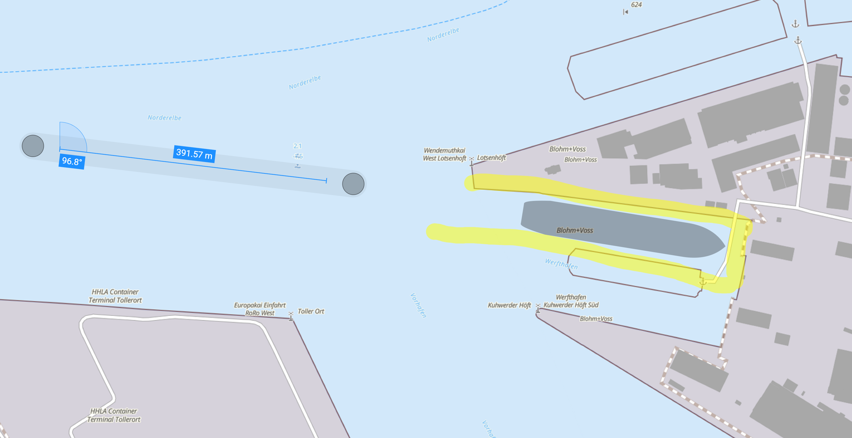
Create georeferenced geometries directly within the browser for precise spatial planning.
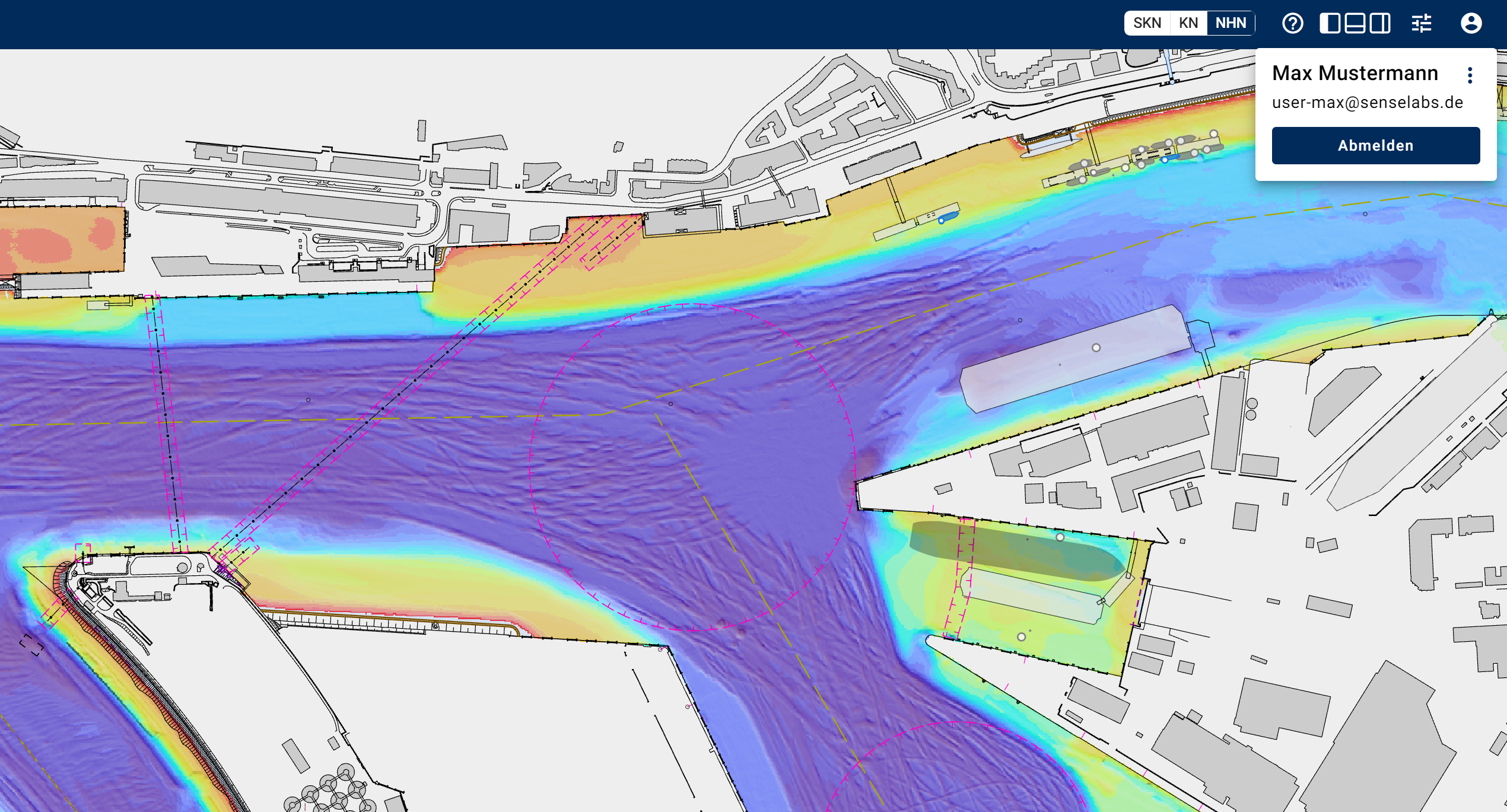
Ensure data security with role-based access controls and geographic visibility restrictions.
Optimized for touch devices, enabling intuitive navigation and interaction on the go.

At SenseLabs, we develop tailored software solutions using agile methods. With years of experience in geoinformation systems and a focus on user-centered design, we deliver powerful, user-friendly GIS applications for hydrography and beyond.
Contact us at info@senselabs.io to discuss your project needs.